
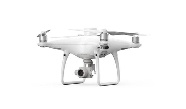
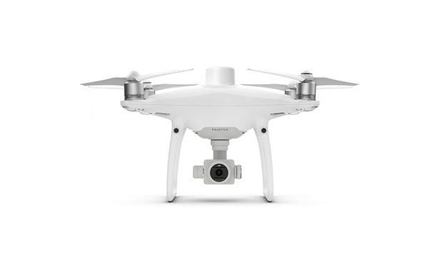
Phantom 4 RTK
- Max Ascent Speed : 6 m/s (automatic flight); 5 m/s (manual control).
- Hover Accuracy Range : RTK enabled and functioning properly:Vertical:±0.1 m;Horizontal:±0.1 m.
- Operating Environment : Surface with diffuse reflection material, and reflectivity> 8%.
- Sensor : 1" CMOS; Effective pixels: 20 M.
- Single-Frequency, High-Sensitivity GNSS Module.
- Altitude Range : 0-33 ft(0 - 10 m).
Product Description
The DJI Phantom 4 RTK is a high-precision mapping drone designed for professional surveying and geospatial applications. It features a built-in RTK module that provides centimeter-level accuracy, reducing the need for ground control points. The drone’s 1-inch, 20-megapixel CMOS sensor ensures sharp, detailed aerial imagery optimized for photogrammetry. With its OcuSync transmission system, it offers stable, long-range communication and real-time HD video feed. Additionally, the Phantom 4 RTK’s intelligent flight modes and mission planning software make mapping efficient, reliable, and easy to automate.
Specifications
- Takeoff Weight: 1391 g
- Diagonal Distance: 350 mm
- Max Service Ceiling Above Sea Level: 19685 ft (6000 m)
- Sensor: 1″ CMOS; Effective pixels: 20 M
- Lens: FOV 84°;8.8 mm / 24 mm(35 mm format equivalent:24 mm); f/2.8 – f/11, auto focus at 1 m – ∞ (HD)
- ISO Range: Video:100-3200(Auto) 100-6400(Manual)
- Battery Type: LiPo 4S
- Capacity: 5870 mAh
- Operating Frequency: 2.400 GHz-2.483 GHz(Europe,Japan,Korea)
Download PDF

